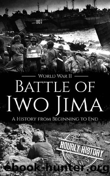
Battle of Iwo Jima - World War II: A History from Beginning to End (World War 2 Battles Book 15) by Hourly History

Author:Hourly History [History, Hourly]
Language: eng
Format: epub
Published: 2020-04-20T00:00:00+00:00
Chapter Five
Hill 382: The Meatgrinder
âVictory was never in doubt. What was in doubt in all our minds was whether there would be any of us left to dedicate our cemetery at the end.â
âMajor General Graves B. Erskine
The origins of the name âMeatgrinderâ are unknown, but no Marine involved in the fighting disputed the accuracy of the term. The Marines who had fought to claim Mount Suribachi had not faced the most grueling of the Japanese defenses. Hill 382, or Nidan Iwa, was where Kuribayashi had concentrated his most rigorous defenses. The artfully constructed network revealed the ingenious planning of Kuribayashi, whose troops employed rifle pits and sandbagged caves, as well as a communications center of significant size that was reinforced with concrete walls that were four feet thick. The site itself had no intrinsic strategic value, but getting through it to claim the land would test the Marines.
Nidan Iwa was 382 feet high and located 250 yards northeast of the airfieldâs east-west runway. The top of the hill, once the location of a Japanese radar station, had been hollowed out and rebuilt to house antitank weapons and field pieces. Each concrete gun housing was protected by as many as ten supporting machine-gun emplacements. Tunneling connected the rest of the hill, just as it did on the rest of the island. Hidden back in the many crevices were light and medium tanks armed with 57mm and 47mm guns all along the length of the northeast-southwest runway.
From the hill, the land to the south and east dropped in a semicircle of ridges and draws that led down from giant steps that looked like plateaus. A rock rose from the land, six hundred yards south of Hill 382. The Marines called it Turkey Knob. It was an observation post from which the Japanese could view the complete southern end of the island. Within was a reinforced concrete communication center.
Falling sharply to the southwest from Turkey Knob, the land formed a bowl that became known as the Amphitheater, where the areaâs natural defenses had been built-up by the construction of three tiers of heavy concrete emplacements in the southern slope of the hill. Here too was a communications center. Antitank and machine guns swept the southern approach to Turkey Knob from these positions.
The success of the Marine advance was dependent upon the flanking units getting rid of the machine guns, spotters, and riflemen waiting to target the assault companies. To the left was Hill 382, the Amphitheater was to the right, and Turkey Knob was in front.
For three days, the first units of the 4th Marine Division ran up against Kuribayashiâs most impregnable defensive line. The ownership of the hill changed numerous times. As the Marines reached the summit, they outpaced the support from the flank. At night, as they withdrew to consolidate, the Japanese moved back in. By February 28, the Americans had been able to advance far enough to outflank Hill 382, bypassing the Amphitheater.
The 24th Marines were sent to spearhead the assault.
Download
This site does not store any files on its server. We only index and link to content provided by other sites. Please contact the content providers to delete copyright contents if any and email us, we'll remove relevant links or contents immediately.
| Africa | Americas |
| Arctic & Antarctica | Asia |
| Australia & Oceania | Europe |
| Middle East | Russia |
| United States | World |
| Ancient Civilizations | Military |
| Historical Study & Educational Resources |
The Light of Days by Judy Batalion(1107)
First Platoon: A Story of Modern War in the Age of Identity Dominance by Annie Jacobsen(961)
Stalin's War: A New History of World War II by Sean McMeekin(893)
The Pacific War 1941-1943 by James Holland(831)
Walk in My Combat Boots by James Patterson(792)
The American War in Afghanistan by Carter Malkasian(776)
Victory's Price (Star Wars) by Alexander Freed(760)
The Vietnam War: An Intimate History by Geoffrey C. Ward & Ken Burns(759)
Blood and Ruins: The Great Imperial War, 1931-1945 by Richard Overy(728)
Operation Pedestal by Max Hastings(711)
Concepts of Space by Jammer Max;(693)
Extreme Fitness by Chris McNab(692)
Cold War (Alexander King Book 2) by Bradley Wright(691)
The Madman Theory by Jim Sciutto(674)
Flying Tiger by Samson Jack(664)
World War II Infantry Fire Support Tactics by Gordon L. Rottman(644)
Pathfinders by AL-KHALILI JIM(636)
Bismarck by Jean-Paul Bled(626)
Panzerkrieg by Mike Syron(623)
